Heading down from Ardfinnan, over the River Suir to the town. Our house is in the cleft of where the brown mountain slopes down to the left.
The center of Newcastle town.
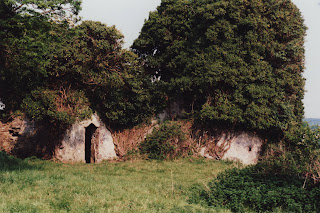
The old Norman fort, built around the 1100s which gave Newcastle it's name.
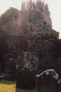
Behind the castle is the old church, which was burned with people in it, by Oliver Cromwell during his march across Ireland.
Because the church is still hallowed ground, it's now used as a burial ground, inside and out.
My father standing in the church. I've called this his record album cover.
My mother gets one too.
We head out of town a few miles towards the house. The sounds of the water rushing down the glen (Glen Bui or the Yellow Glen) behind the house gets louder.
The view from the mountain looking down at the house.
And looking into the Knockmealdown mountains. This was in February (spring in Ireland) which accounts for the brown colors.
On the mountain.
A paleolithic tomb marker on the mountain looking over the fields and towns to the north, below. The orientation seems to be east-west, the path of the sun. The hills and fields of this area are dotted with Christian and Pagan sites.
The village of Newcastle in the center-left.
Heading into the mountains towards Mount Mellery Abbey.
Looking back down the road. Dewy & damp seem the best adjectives. This was taken in May when the yellow furze was in bloom.


